Answers For [Recent Tests- VOL] - Growing more for less
Answers and detail explain for [Recent Tests- VOL] - Growing more for less
Explain
[Recent Tests- VOL] - Growing more for less
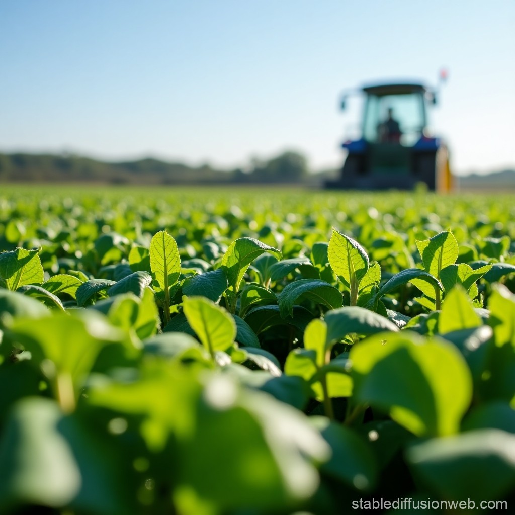
Satellite technology is helping farmers boost crop yields
A For farmers, working out the optimal amount of seed, fertiliser, pesticide and water to scatter on a field can make or break the subsequent harvest. Regular laboratory analyses of soil and plant samples from various parts of the field can help – but such expertise is costly, and often unavailable. However, a new and cheaper method of doing this analysis is now on offer. 10Better prescriptions for growing crops can be obtained quickly, and less expensively, by calculating the amount of electron-magnetic radiation reflected from agricultural land. The data is collected by orbiting satellites.
B Examining the wavelength of the radiation that is reflected can reveal, with surprising precision, the properties of the soil, the quantity of crop being grown, and the levels in those crops of chlorophyll, various minerals, moisture and other indicators of their vitality. If recent and frequent weather data is added to the mix, detailed maps can be produced showing exactly how, where and when crops should be grown. 7The service usually costs less than US $15 per hectare for a handful of readings a year, and can increase yields by almost 10%.
C Such precision farming using satellite-based intelligence is a relatively new technique. Even so, it is catching on quickly. 1Five times a year, for example, a French cereal-growers’ co-operative called Sevep purchases satellite data and makes it available to its members in the form of maps of their fields, divided into three or four colour-coded zones per hectare. For each zone, one of about 50 fertilizer formulas is recommended. On top of this, if the wheat in the field has already grown quite high early in the season, and heavy showers are expected, an appropriate dose of growth regulator is recommended for each zone. (Lone, fragile stems break more easily in downpours.) Then, farm vehicles equipped with global-positioning system locators automatically map and apply the prescribed dose to each area.
D 5-8France is the pioneer in this sort of surveillance. More farmland is analysed by satellite there than in any other country, according to Infoterra (a subsidiary of EADS Astrium), the firm that is France’s biggest provider of such information, supplying data to companies such as Sevep. 2-11Moreover, Henri Doulce, head of Infoterra’s agriculture sales in Toulouse, reckons that one monitored formula will increase as weather patterns change and farmers can no longer rely on the past as a guide to the future. When confounded by the yield variations that these new weather patterns will bring, even farmers who are afraid of new technology may be tempted.
E Inexpensive data on the productivity of land is advantageous to governments, too. Areas where fertilisers and seeds are subsidised by the state can be more precisely pinpointed, studied and regulated by environment and land-use agencies. Guy Lallement of Ceresia, an agricultural wholesaler in north-eastern France, gives an example: satellite data in picture form is especially useful in regions where poor record-keeping has made analysis difficult. 3The data may also help determine whether over-use of nitrate fertilisers (which are also a source of greenhouse gases) appears partly responsible. 12And according to RapidEye, a German satellite operator, insurance companies are also studying satellite data with a view to selling insurance policies to governments of famine-prone countries that might be threatened by crop failure.
F In March, RapidEye began selling data that helps forecast harvest. ‘Too often, farmers limit their fertilizing and managing fields uniformly,’ says Fredrick Jung-Rothenhauser, head of product development at the firm’s headquarters in Brandenburg an der Havel. 6-9‘Our satellites are the first commercial satellites to include the Red-Edge band of the light spectrum, which is sensitive to changes in chlorophyll content. More research will be necessary to realise the full potential of the Red-Edge band. However, this band can assist in monitoring vegetation health, improving species separation and also help in measuring protein and nitrogen content in biomass.’ The company’s date, which comes from both Europe and the Americas, breaks fields productively down into plots just five metres square.
G The advantage that satellite technology provides in terms of precision farming do not have to be restricted to rich countries. 13In Africa, where many soils have become badly depleted of nutrients, better fertiliser management would greatly improve the situation. As a consequence, the charitable trust World Agroforestry Centre, in the city of Nairobi in Kenya, has begun to build a catalogue of the radiation patterns derived from around 10,000 samples of African soils. The information is the key to understanding the potential of those soils to be more agriculturally productive. 4Once passed on to the International Centre for Tropical Agriculture, based in Cali, Colombia, South America, it is intended that the information be used to build a database called the ‘Digital Soil Map’. When ready, this will provide farmers with free forecasts, and will regularly be updated using satellite imagery, across farmland in a number of countries in Africa. This is information which will almost certainly assist in improving crop yield. For a hunger-ravaged continent, that is good news indeed.
Questions 1–7
Reading Passage 2 has seven paragraphs, A–G.
Which paragraph contains the following information?
Write the correct letter, A–G, in boxes 1–7 on your answer sheet.
NB: You may use any letter more than once.
1
An example of how farmers in one country are now using satellite data to determine fertiliser use.
2
A reference to climate change and its effects.
3
A reference to the effect on the soil of using too much fertiliser.
4
An example of information that will be shared between different countries.
5
A mention of the country which is the leader in agricultural technology.
6
A description of an innovation in satellite imaging which requires further study.
7
Evidence of the cost effectiveness of using satellite technology in agriculture.
Questions 8–9
Choose TWO letters, A–E.
Write the correct letters in boxes 8 and 9 on your answer sheet.
Which TWO companies obtain information directly from satellites?
A.
B.
C.
D.
E.
Questions 10–13
Complete the sentences below. Choose NO MORE THAN TWO WORDS from the passage for each answer. Write your answers in boxes 10–13 on your answer sheet.
- Initially, orbiting satellites were used to measure 10 (electron-magnetic radiation) coming from farmland.
- 11 (Henri Doulce) believes that confusion about irregular weather will cause more farmers use satellite technology.
- As a result of satellite technology, it may become possible to insure against the risk of 12 (crop failure)
- In Africa, much of the soil suffers from the loss of 13 (nutrients)
![[Recent Tests- VOL] - A Brief Introduction to Pepper](https://static.helik.app/reading/2250f746-b094-476e-a25e-a47a21c27072)
![[Recent Tests- VOL] - Classifying societies](https://static.helik.app/reading/e93c3418-dcc0-4095-96eb-ee3951a68289)
![[Recent Tests- VOL] - The Blockbuster Phenomenon](https://static.helik.app/reading/2f76f74f-39e0-45b8-8c43-ff5bac22ee2b)
![[Recent Tests- VOL] - Saving the Bittern](https://static.helik.app/reading/4f428d53-643b-477c-afb1-d6f0cee2e8fb)
![[Recent Tests- VOL] - Ambergris](https://static.helik.app/reading/b6be70ec-fa99-41ea-876e-4058cfbab0cd)
![[Recent Tests- VOL] - Developmental Tasks of Normal Adolescence](https://static.helik.app/reading/69287e43-4020-4dea-9c3e-54bc2c48bab8)
![[Recent Tests- VOL] - Corporate Social Responsibility](https://static.helik.app/reading/4034faff-df5e-4727-af9c-fe17355ea7eb)
![[Recent Tests- VOL] - Amateur Naturalists](https://static.helik.app/reading/9177a84f-590c-4379-b00a-5c18b76c217d)