回答 [Recent Tests- VOL] - When Maps were made for the Public
の回答と詳細な説明 [Recent Tests- VOL] - When Maps were made for the Public
Explain
[Recent Tests- VOL] - When Maps were made for the Public
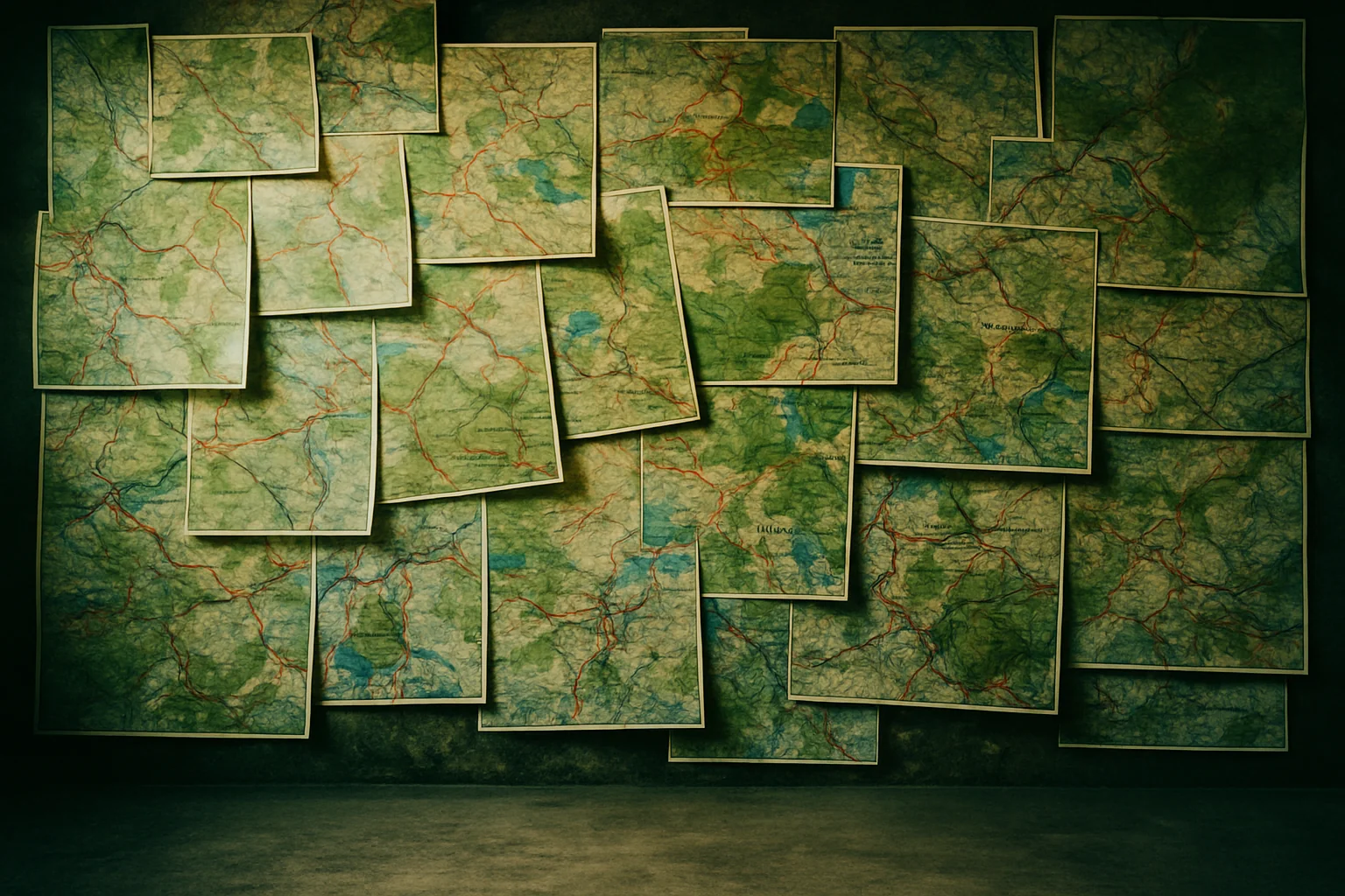
Since the art of map-making began, maps have largely been made for explorers, academics and rulers. It wasn't until the 19ch century that the general public began to demand maps for themselves. More than anything else, it was the appeal of travel to ordinary people that encouraged publishing companies to begin creating and printing more maps than ever before, in order to meet the demand of their new market.
In the years after the American Civil War (1861-65), the rapidly growing US railroad system had so many independent rail companies, schedules and destinations that maps were critical for planning a person's journey. One publisher, 1Rand McNally, made a fortune from producing railways maps for different parts of the USA, combined with a timetable and many descriptions of scenery and towns in the same booklet.
When safety improvements in the 1880s helped to make the bicycle popular, cycling maps quickly followed. Trying to provide something special, publisher George Philip produced attractive-looking maps that would remain in good condition even if they were exposed to water. In 1896, one of the finest cycling maps was produced, in seven parts: 2George Blum's Cyders' Guide and Road Book of California. Each cycle road was highlighted in red and labelled with not only the type of surface riders could expect to find, but also an indication of how steep it was.
The advent of the car brought a need for road maps and travel information. In 1900, 3André Michelin published a guide about France, with maps that showed the location of different kinds of reasonably priced accommodation and also car assistance for any mechanical problems. 4However, it was due primarily to its recommendations regarding which was the best restaurant to go to that the guide quickly became something that a huge number of tourists and travellers bought and relied on.
Nowhere was the need for road maps greater than in the United States. In 1902, the American Automobile Association was founded in Chicago, and three years later it published its first road maps for long-distance drivers. 5In 1917, Rand McNally began to publish Auto Trails Maps, a series of maps that each focussed in detail on a different region that people might hope to visit within North America. 6The same publisher also helped to establish the US's system of identifying its roads. Previously roads had names, following the European tradition, but now, thanks in part to Rand McNally, they were allocated numbers instead. 7Also in the early twentieth century, publisher H. M. Gousha Company developed the Touraide, a set of spiral-bound maps with places to stay and eat and points of interest, ordered in advance and assembled individually for the traveller.
The oil companies did not take long to realize the profit to be made from Americans exploring the open road, so service stations soon began to distribute free maps to encourage this. Free road maps became part of the fabric of American life, and it has been estimated that more than ten billion were distributed before the 1970s. 8It was then that the rising costs of oil and subsequent falling consumption led to the oil companies investigating where savings could be made. The maps were one of the first things to go
Another map product was the aeronautical chart for pilots. The first examples were produced in France and England around 1911. 9Techniques progressed greatly during World War 1, and during the 1920s there was continual development of maps for air navigation.
New maps also became available for those who only wanted to cross town by train. 10Some of the early maps of the London Underground were based on the city above ground; therefore, although they were accurate in terms of distance and direction, the maps were confusing because the stations in central London were so crowded together. In 1931, 11-12Harry Beck produced a map that looked rather like an electrical circuit, with straight lines and symbols. It included only one feature above ground: the river Thames. The stations were also spaced relatively equally, making the map much easier to read. Although Beck's map was initially rejected as too radical, it was approved in 1933. He continued to refine it for the next 25 years.
Shortly after Beck's contribution to the mapping of subterranean London, an equally significant achievement was performed above ground. 13Phyllis Pearsall was a painter who, in 1935, became lost on the way to a party in London, due to the lack of a good map. This inspired her to plot all of London, and the next year she traced and catalogued its 23,000 streets. With map-maker James Duncan, Pearsall then produced an atlas and a comprehensive street index. Unable to interest any of the major publishers, the two founded their own company, the Geographer's Map Company Ltd, and produced what was then called the A-Z, Atlas and Ginde to London. The company still exists and now publishes more than 300 different A-Z, maps and atlases.
Questions 1-6
Complete the notes below. Choose ONE WORD ONLY from the passage for each answer. Write your answers in boxes 1-6 on your answer sheet.
The development of maps from the 19th century onwards
-
a growing interest in travel led to the increased production of maps in the 19th century
After 1865:
-
Rand McNally made a lot of money by putting a map and a 1 (timetable) publication in one
After 1880:
-
George Philip produced maps that could not be damaged by water
-
George Blum's cycling map showed
-
the kind of 2 (surface) the paths had
-
how steep the paths might be
1900 onwards:
-
André Michelin's guide provided information about
-
finding economical 3 (accommodation)
-
what to do if your car broke down
-
the Michelin guide became popular mainly because it helped people select a 4 (restaurant)
1917 onwards:
-
Rand McNally
-
the company's Auto Trails Maps helped people explore roads through a particular 5 (region) of the USA
-
the company was also responsible for giving 6 (numbers) to American roads
Questions 7-13
Do the following statements agree with the information given in Reading Passage 1?
In boxes 7-13 on your answer sheet, write
TRUE if the statement agrees with the information
FALSE if the statement contradicts the information
NOT GIVEN if there is no information on this
7
7
The Touraide was organised according to the particular needs of each traveller.
8
8
It was the high price of oil that stopped free maps being given out to the public.
9
9
In the 1920s, maps for pilots helped improve safety records for flights.
10
10
People found the early maps of the London Underground easy to read.
11
11
Harry Beck had previous experience of map-making when he produced a map of the underground.
12
12
Beck's first version of the underground map met with a positive reaction.
13
13
Phyllis Pearsall was the first woman to produce a published map.
![[Recent Tests- VOL] - A Brief Introduction to Pepper](https://static.helik.app/reading/2250f746-b094-476e-a25e-a47a21c27072)
![[Recent Tests- VOL] - Classifying societies](https://static.helik.app/reading/e93c3418-dcc0-4095-96eb-ee3951a68289)
![[Recent Tests- VOL] - The Blockbuster Phenomenon](https://static.helik.app/reading/2f76f74f-39e0-45b8-8c43-ff5bac22ee2b)
![[Recent Tests- VOL] - Saving the Bittern](https://static.helik.app/reading/4f428d53-643b-477c-afb1-d6f0cee2e8fb)
![[Recent Tests- VOL] - Ambergris](https://static.helik.app/reading/b6be70ec-fa99-41ea-876e-4058cfbab0cd)
![[Recent Tests- VOL] - Developmental Tasks of Normal Adolescence](https://static.helik.app/reading/69287e43-4020-4dea-9c3e-54bc2c48bab8)
![[Recent Tests- VOL] - Corporate Social Responsibility](https://static.helik.app/reading/4034faff-df5e-4727-af9c-fe17355ea7eb)
![[Recent Tests- VOL] - Amateur Naturalists](https://static.helik.app/reading/9177a84f-590c-4379-b00a-5c18b76c217d)